deer park
4A地址: 暂无
开放时间: 暂无

景点点评
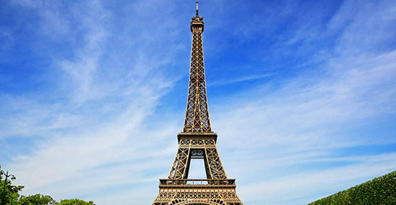
If you can stomach the single-lane gravel road that twists and turns you up the mountain, then this is a must-do on your Olympic Peninsula tour. The view, unlike Hurricane Ridge, offers a 360 degree panoramic of the mountains AND the Straight of Juan De Fuca. It's kind of like the "Locals Only" version of Hurricane Ridge, lesser known but better and FREE.
Pretty area, but we had lots of rain and dirt/gravel road. Would be nicer if road paved. Was expecting to see lots of deer, but not at the time we were there. Apparently they were getting ready to close the roads down for the winter season.
The views were outstanding but the deer made it natural. There is a herd of about 16 deer that frequent that area and the surrounding prairie. They will eat your sweat soaked clothes due to the salt. DO NOT HANG YOUR CLOTHES OUT TO DRY! The Deer Ridge trail had great views. Thy had a latrine and some nice campsites as well but the area that got this 5 star rating was the Three Forks Trail that tied into Deer Park about a quarter mile to the East. 3400 ft. of vertical on a 4.2 mile trail and the wildflowers were in full bloom and the weather was perfect.
The entrance to Deer Park is just east of Port Angeles. After the first few miles the road is very narrow with many sharp turns. We were there at the beginning of August and the view at the top was terrific. It was certainly worth the drive up.
Keep in mind that the road to Deer Park is only open about four months a year. My suggestion, go after mid July when rain is less likely, wild flowers will be in bloom, and you may have a spectacular view of the Olympics. I know people who live in the area who have never dared drive up this road. It seems like a one lane steep dirt road with sheer drop offs. Just drive slow and you have nothing to fear. Coming down put your car in low gear so as to avoid damaging your brakes. Be sure you have good directions as the Microsoft map I am looking at on Trip Advisor is not correct. Deer Park is reached by Deer Park road which is a little east of Port Angeles.
We left sunny Port Angeles and drove north up Deer Park towards Blue Mountain. Shortly after the road turned to dirt at the entry to the national park, the clouds suddenly moved in...and we almost turned back. So glad we didn't.After several miles of mostly very good dirt road, we reached the Deer Park/Blue Mountain area, buried in a thick cloud bank. At the top, we took the short loop to reach the summit of the peak. The grayscape revealed the context in waves -- a grouse nesting by a weather station here, wind whipping through the grey to reveal a hint of peaks rippling across the wilderness. At the very top, a 4-point buck emerged from the shadows to stare at us before continuing with his grazing.I know what views and overwhelming beauty lie on Deer Park. On this day, it was more than worth it to let the fog focus our reflections into a smaller world, one marked not by tremendous vistas but by glimpses into the particular and dramatic in a microcosm of rock and tree.It's bumpy. There are almost no services. My cell phone thought I was in Canada. But it was a beautiful place to spend a grey afternoon.